Mapeo is an offline editor for geolocated data using the same format as OpenStreetMap with the purpose of allowing communities that have limited to zero connection to not only record their local geography, but the history of their land while still retaining the ability to choose what pieces of data they want to share.
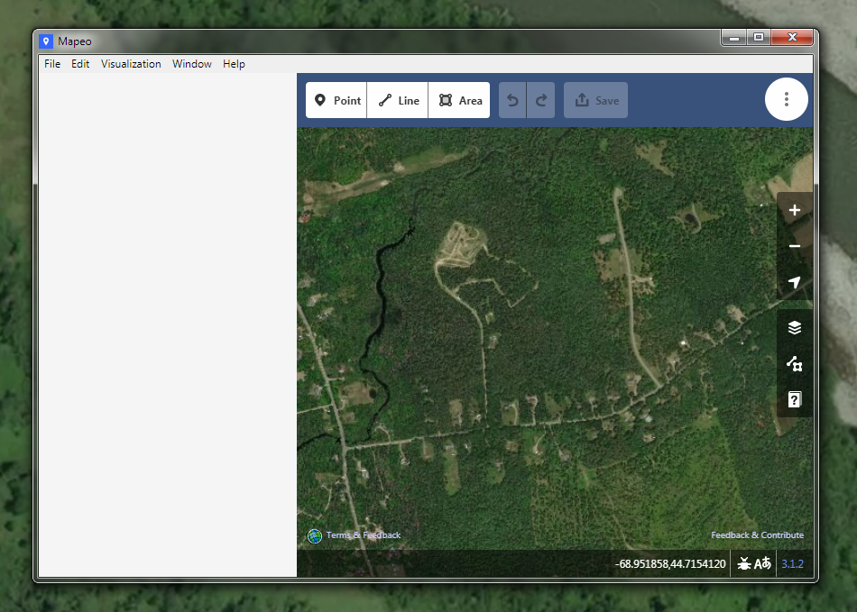
The editor in the software is based off the iD editor that OpenStreetMap uses as it's default web-based editor. The easy to use nature of the editor helps prevent any feature overload standard GIS software presents to the user which can often intimidate newcomers.
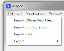
Since Mapeo is designed for offline/limited connectivity use it distributes it's database through using either peer to peer over the local area network, using Mapeo Sync (.mapeodata) files that are distributed via USB or internet upload, or exporting to traditional geodata formats (GeoJSON, Shapefiles). As of version 3.1.10 there is no support of automatically importing and keeping track of official OpenStreetMap.org object IDs to allow easy import/export of live OpenStreetMap.org data so any data that is manually imported and changed within Mapeo would have to be manually verified and added back into OpenStreetMap.org
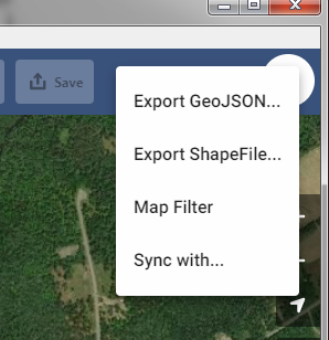
Testing the software with a GeoJSON export of a small town's data from OpenStreetMap.org that was manually imported into the software worked as intended; although, the process isn't smooth enough for general use as there is no loading bar and larger datasets take longer to load from the local database. There are plans for optimizing loading information from the database so this issue should hopefully be mitigated/resolved in the future.
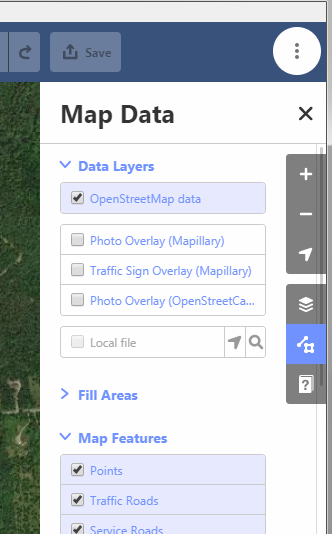
Loading the GeoJSON file as a data-layer provides a much smoother experience while navigating the map but is only useful at the moment for seeing shapes and names of objects as Mapeo doesn't display further information when clicking on the object. The loading process for the data-layer option also requires a long initial load of the file it needs to read.
To start fresh on a new map project there isn't any options within Mapeo to do so at this time (it seems to be a planned feature) but it is easily done by renaming or deleting the data folder within the app settings folder (On Windows: AppData\Roaming\Mapeo).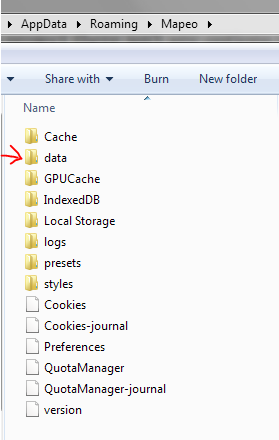
While it is technically usable if you wish to use existing OSM data it might be recommended only exporting the objects you need from OpenStreetMap.org. Mapeo with it's current functionality has the power to help change the game for small-scale and distributed mapping efforts and can only get better.
Future posts will go into basic workflows, more advanced use with mobile-desktop sync, and further into more technical setups.
Comments
No comments yet. Be the first to react!